[Gorafe Desert Spain] Hiking the Badlands de Purullena to the Mirador del Fin del Mundo
If you’re looking for spectacular scenery straight out of a sci-fi movie, the hike to the Badlands de Purullena to the Mirador del Fin del Mundo is for you!
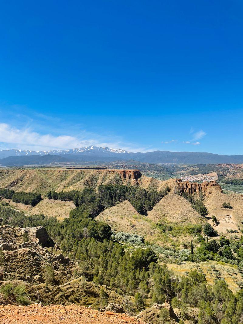
Set in the Gorafe desert in southern Spain, this 3-hour hike is the best way to explore this amazing landscape shaped by thousands of years of erosion.
I tackled this loop hike with my wife last May, and now I’m sharing all the details you need to make the most of it.
Where to Stay For This Hike
For this hike, prefer staying in the town of Guadix, which is just a 5-minute drive from the trailhead and the nearest larger town. Alternatively, Granada is also a great option, only about 45 minutes away by car.
Depending on your itinerary, one location might suit you better than the other.
Here are my hotel recommendations in these towns:
- Best Hotel in Guadix – YIT Abentofail: This is where we stayed, and we had a fantastic experience. The room and bed were spacious, the shower was excellent, and we were welcomed with glasses of wine and a very nice staff. Definitely a great value for the money!
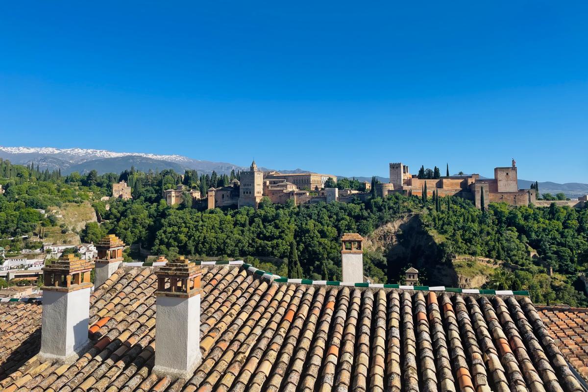
- Best Hotel in Granada – Smart Suites Albaicin: Located in the Albacin district, this hotel offers the best bang for your buck in Granada. The suites are modern, spacious, and super comfy, with some even boasting incredible views.
If interested, you can stay in a trogolyte house in Guadix! It’s a one-of-a-kind experience you won’t find anywhere else. I recommend Cueva de Manuela for an unforgettable stay.
Where is the Gorafe Desert & What to Expect
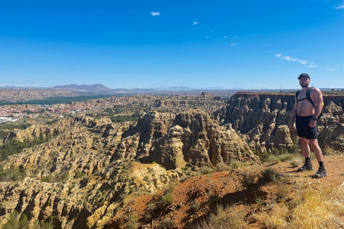
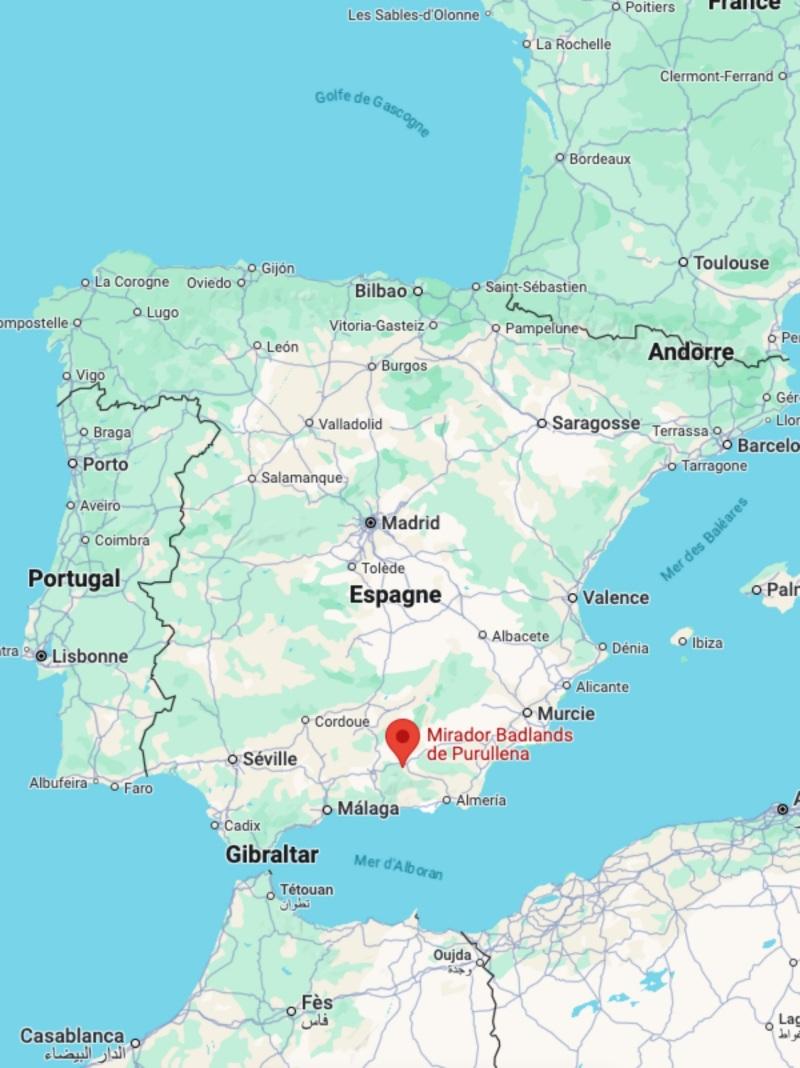
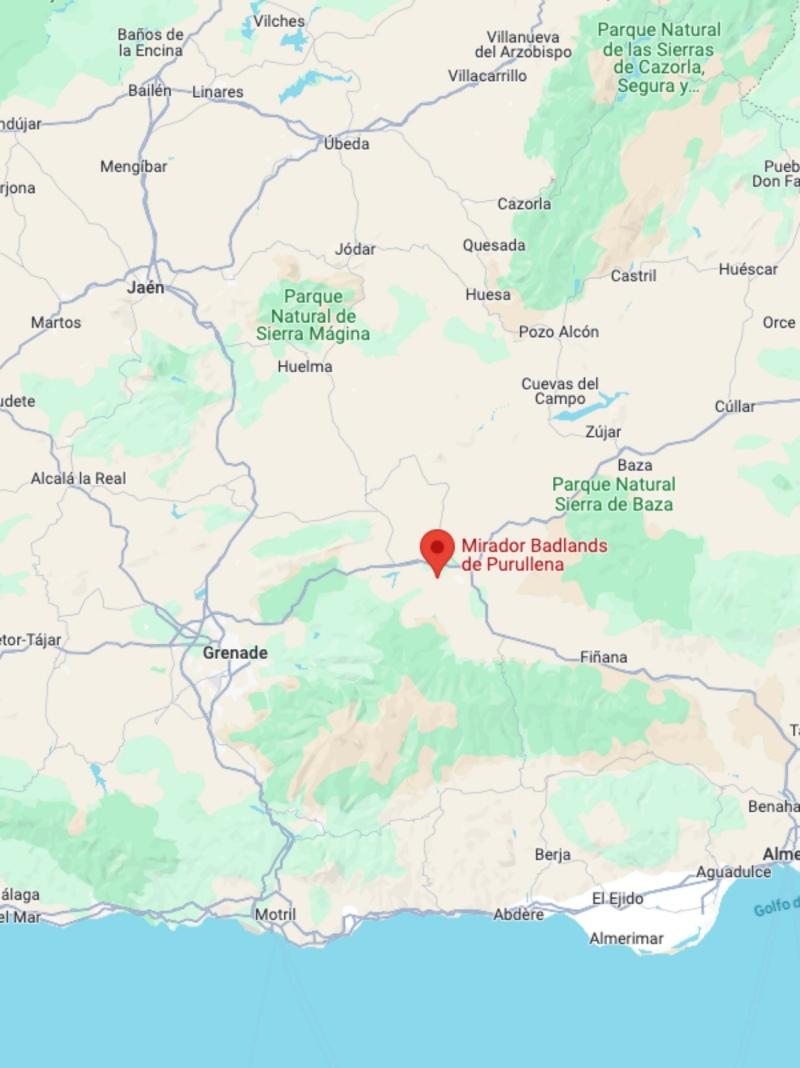
The Gorafe Desert is located in Andalusia, north of the Sierra Nevada in South Spain. It’s part of the Granada Geopark, a unique area marked by erosion with badlands, dolmens, gullies, and troglodyte houses inhabited since the Middle Ages only an hour’s drive from the city of Granada.
This desert is truly exceptional, with a unique beauty that brings to mind the iconic landscapes of Cappadocia in Turkey or the Grand Canyon in the USA.
Its diverse shapes and colors shift throughout the day, from yellow to red, orange, and blue, making you feel like you’ve stepped onto another planet, almost like you’re on Mars!
What’s even more fascinating is that part of the desert is still inhabited, with around 300 cave dwellings carved into the badlands and dolmens, some of which you can visit.
Honestly, it’s the most incredible landscape I’ve seen in Europe, so if you’re in the area, you absolutely have to check it out.
And here’s the kicker: it’s not overrun with tourists. We were pleasantly surprised to find ourselves exploring the area almost completely alone in May!
How to Get to the Hike Starting Point
Several starting points are possible for this hike, but I’ll talk share the one we used. It’s located in the town of Paulenca: we started from the parking lot located right in front of Colmado “Las Escuelas”.
Simply write Colmado “Las Escuelas” on your GPS device and you’ll find it easily:
- From Guadix, it’s a short 6-min drive
- From Purullena, it’s a short 10-min drive
- From Granada, it’s about 45 min drive following the A-92 and the A-4100 routes
- From Almeria, it’s about 1 hour 10 drive following the the A-92 to Guadix and the A-4100 route
There’s almost no public transport in the area I know of, so having a car is the only option.
I recommend renting a car in Spain through Discover Cars for their unbeatable rates and great service. Rent your car here.
Badlands de Purullena to the Mirador del Fin del Mundo Hike Details
Los Cahorros de Monachil
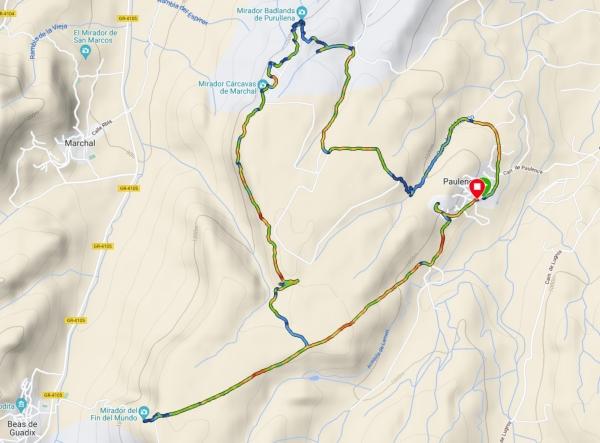
🚶 Hike distance: The total distance of this loop is about 12 kilometers/7.7 miles.
⏱️ Hike duration: It took us 2 hours 52 min, mirador, snacks, and lunch breaks included. Count 4 hours if you’re with kids or if you’re not a seasoned walker.
↗️ Hike elevation: I’d say about 90% of this hike is flat, but there’s one very small climb where you’ll need to use your hands and one section with a steep elevation that will wear you out.
😰 Hike difficulty: Overall, the hike is of moderate difficulty, with a mostly flat and well-defined path. However, there’s one particularly tricky section where the trail isn’t marked—you’ll need to navigate through olive trees, so I highly recommend having the GPX route mapped out on a device. Another small yet challenging part requires some hand-over-hand climbing. Because of these, I’d rate this hike as more challenging than it initially seems.
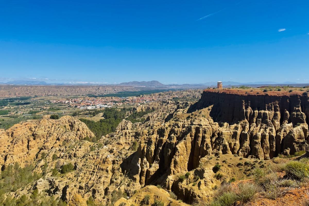
Hiking the Badlands de Purullena to the Mirador del Fin del Mundo
On the fifth day of our road trip through Andalusia, right after visiting Granada, we headed to Guadix to explore the wonder of the Gorafe desert. We were amazed to discover such a unique landscape in Spain during our research, so we knew we had to see it for ourselves.
And what better way than a hike to enjoy it to the fullest?
The night before, we stayed in Guadix at YIT Abentofail, so we were just a quick 5-minute drive from the starting point, located at the parking lot in front of Colmado “Las Escuelas”.
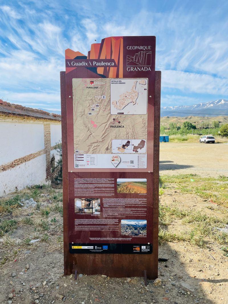
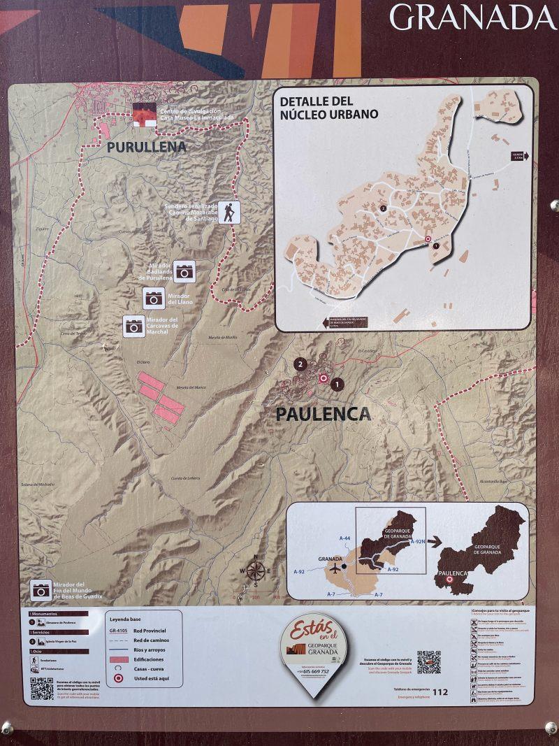
Here, you’ll spot a sign indicating the hikes in the area.
As you can see from the photo above, there are several miradors to discover. We chose the route that includes Mirador Badlands de Purullena, Mirador Carcavas de Marchal, and Mirador del Fin del Mundo.
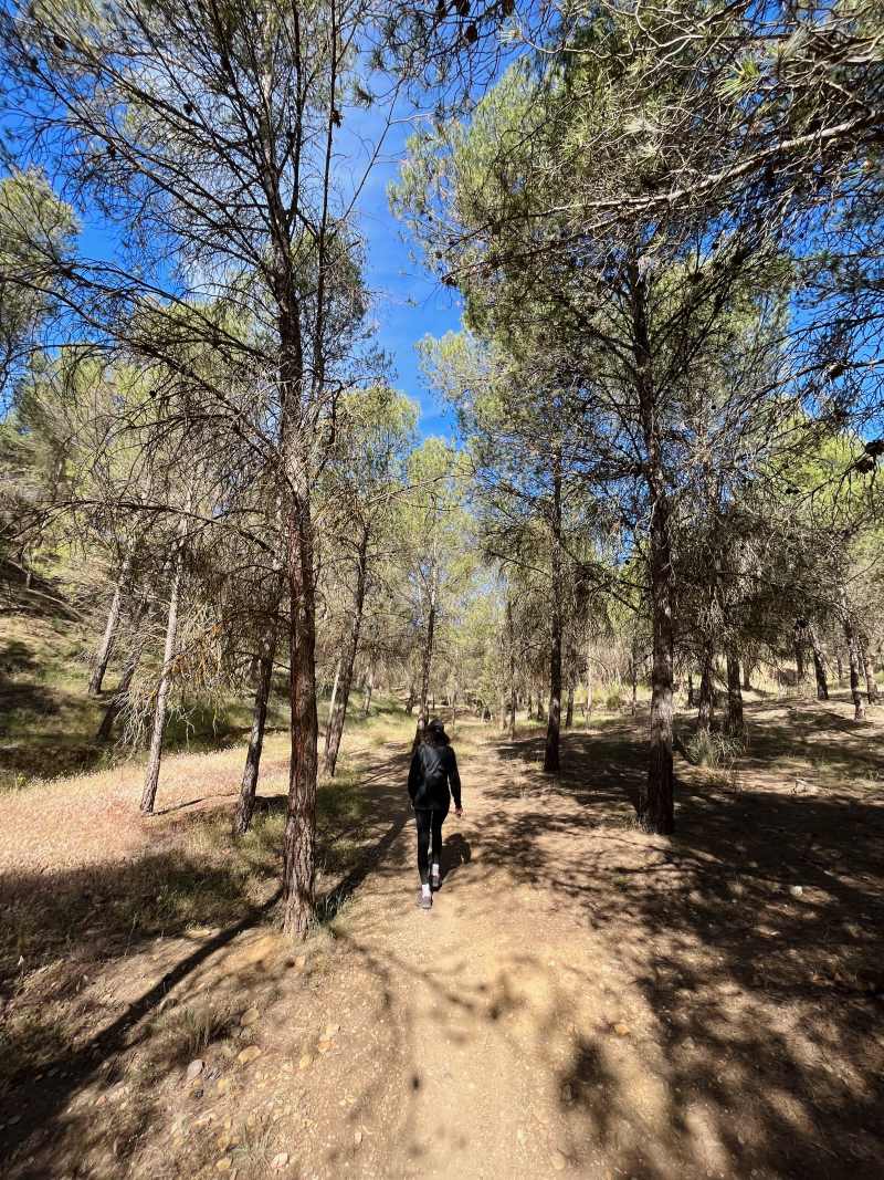
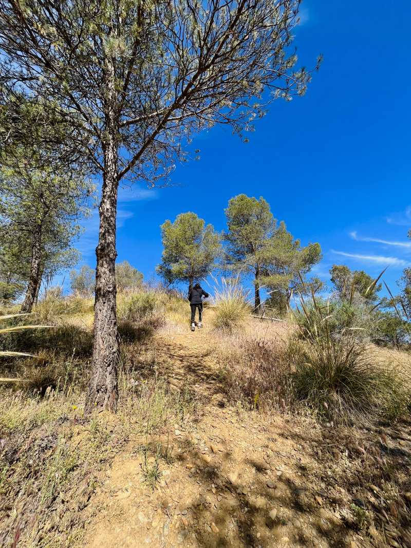
The start of the hike isn’t clearly marked but you’ll find a well-worn dirt road leading into the wilderness so just follow that for a while.
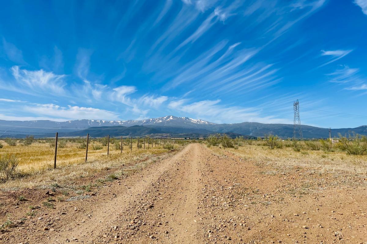
You might be tempted to drive along this road, but I wouldn’t recommend it. You’d need a 4WD, and even then, there’s nowhere to park, and it’s unclear if driving is even allowed. It’s best not to take the risk.
At one point, you’ll need to turn right, enter the olive groves, and climb a bit. There’s no signage except a “Private Property” sign—climb just before reaching that sign.
After the climb, you’ll hit another clear wide road. Keep following on this path until you reach a section that cuts through the trees. Be cautious here, as there are no signs, so stick to your map.
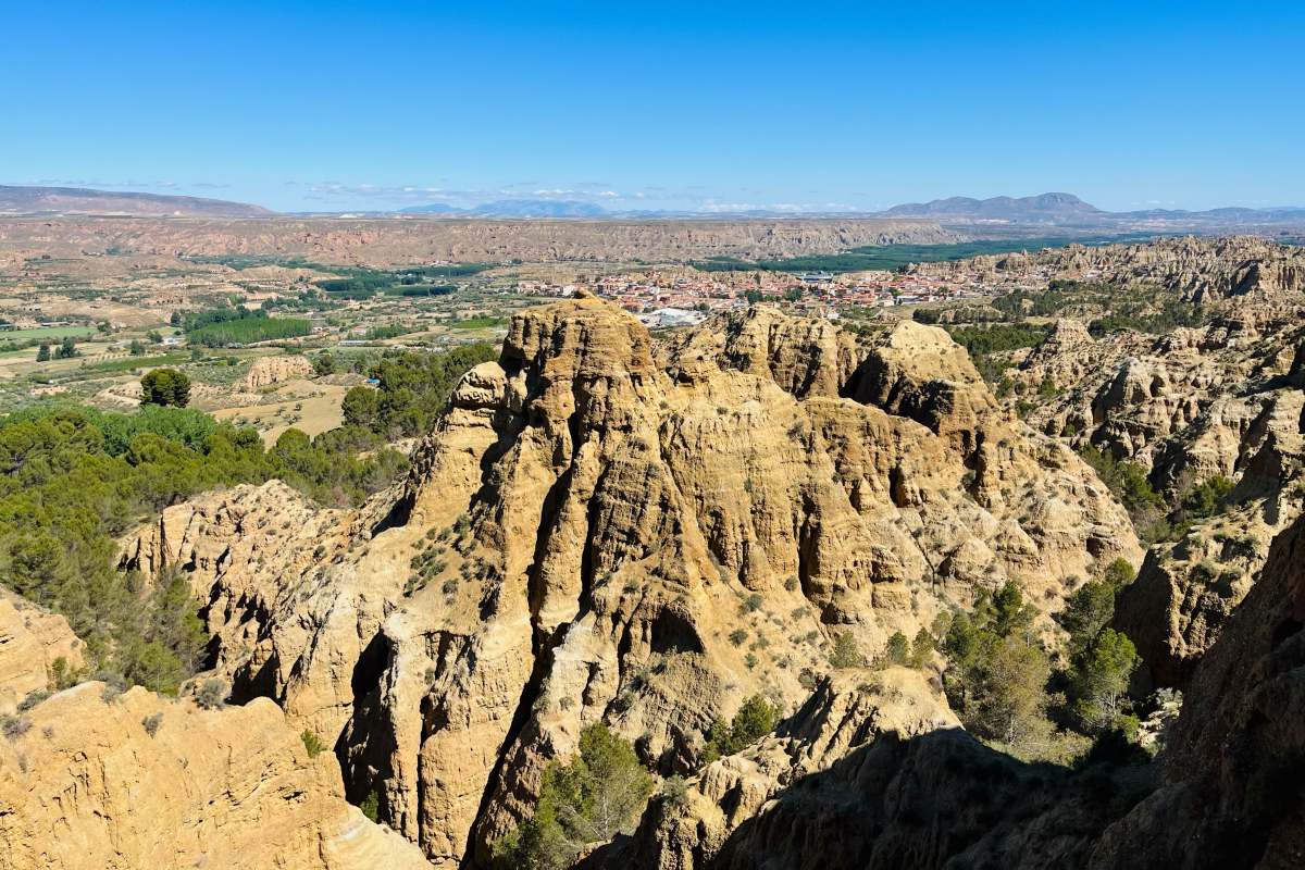
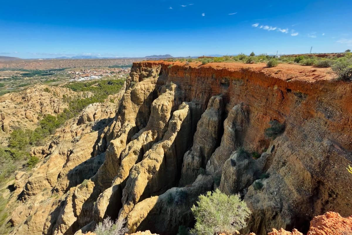
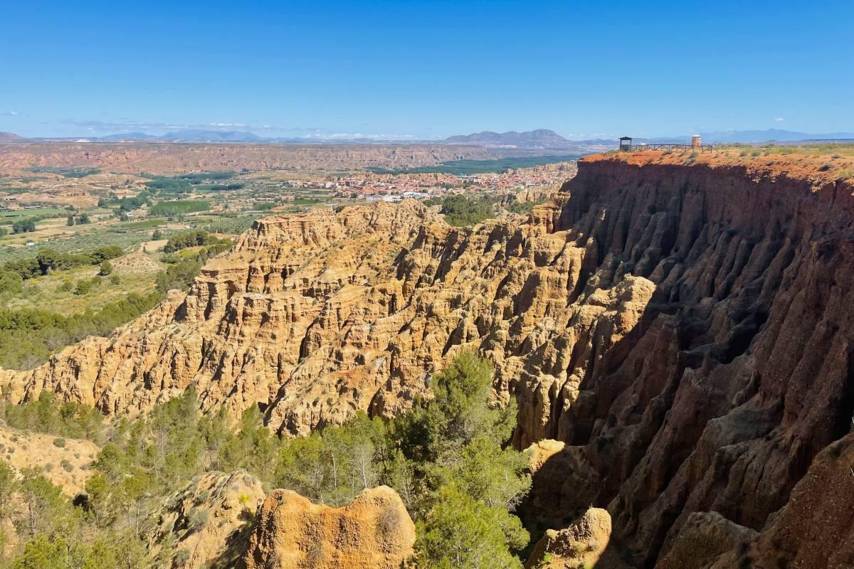
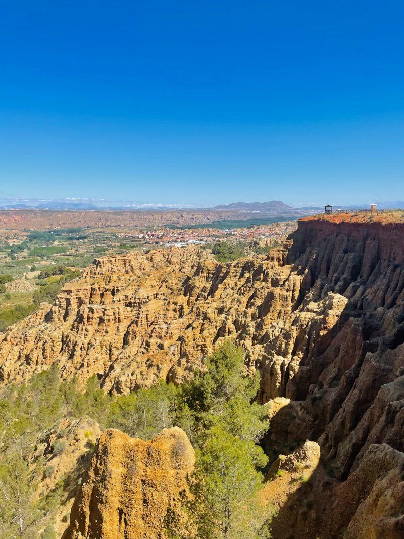
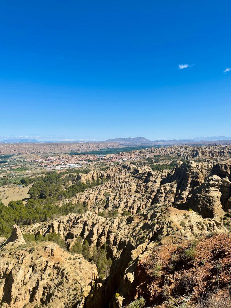
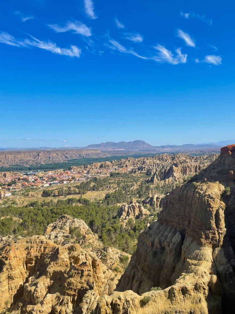
As you walk, you’ll begin to catch glimpses of the stunning landscape until you reach the first viewpoint, Mirador Badlands de Purullena, which is absolutely spectacular.
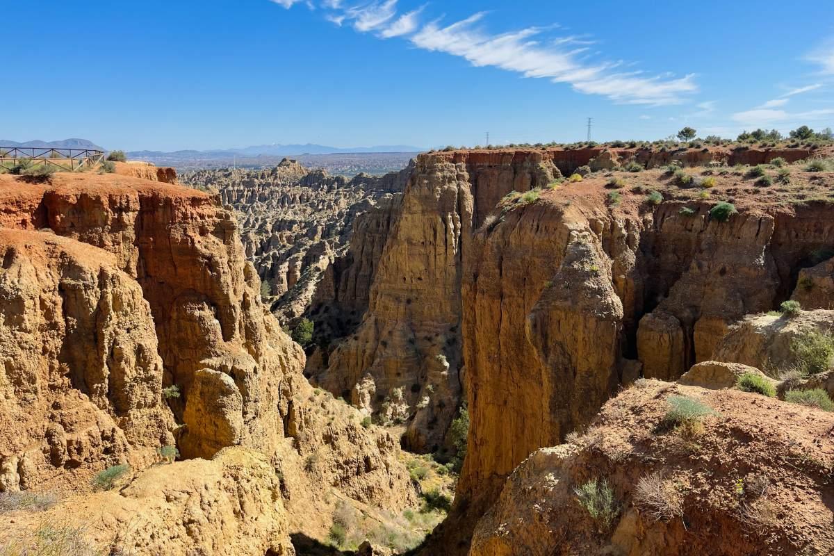
We took a snack break with a view here before heading to the second viewpoint, Mirador Carcavas de Marchal, which is less than 10 minutes away.
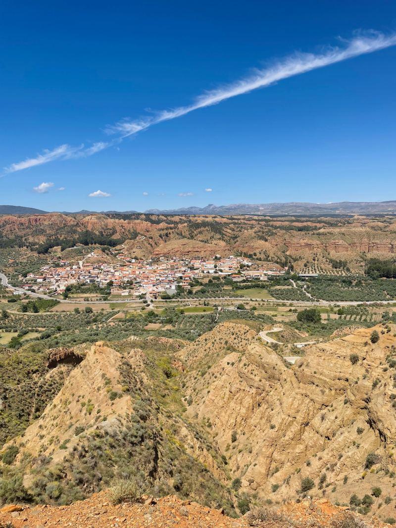
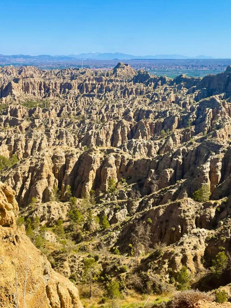
Again, the views were viewing. The walk on the cliff edge between the 2 viewpoints is absolutely amazing, we took too many photos to share!
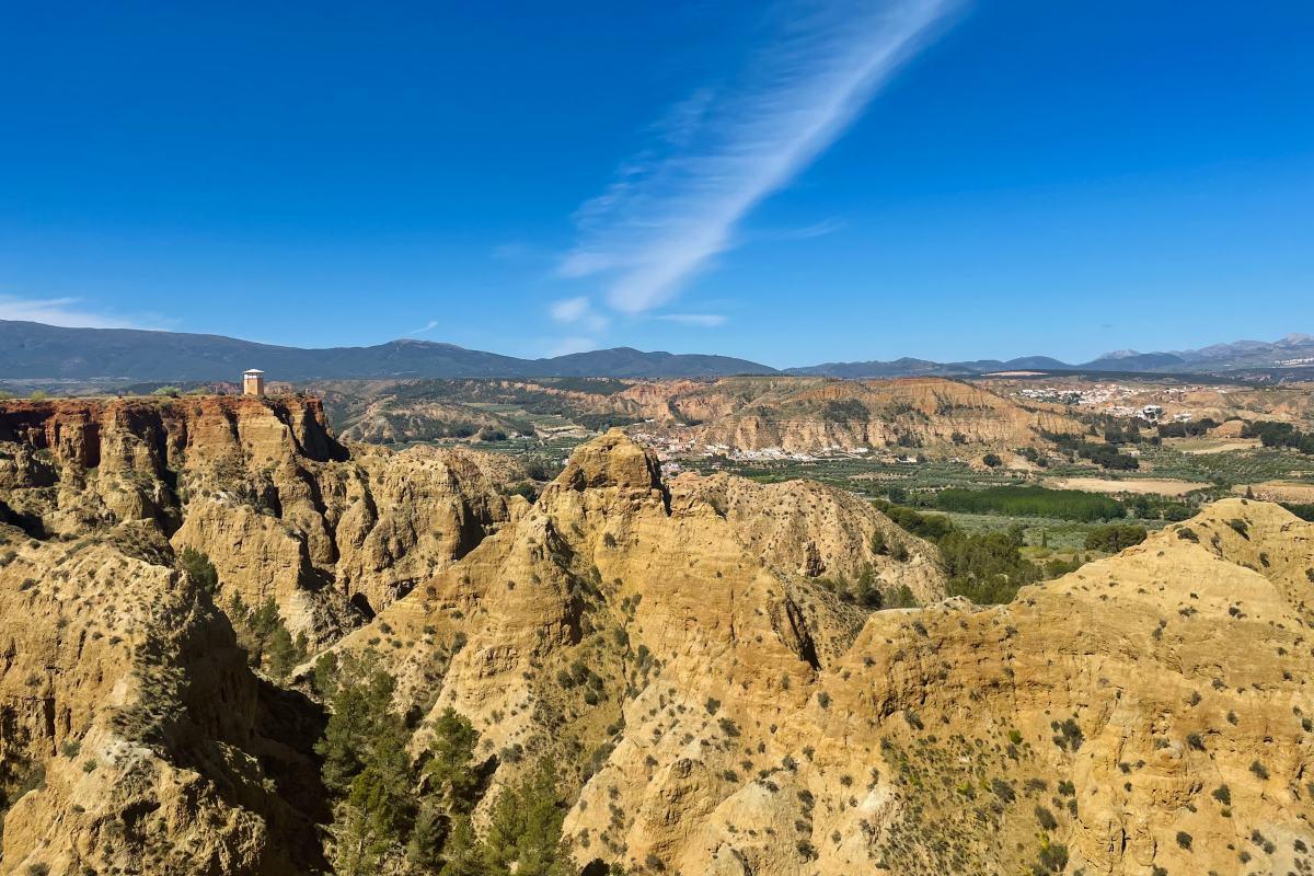
Here’s the view from Mirador Carcavas de Marchal:
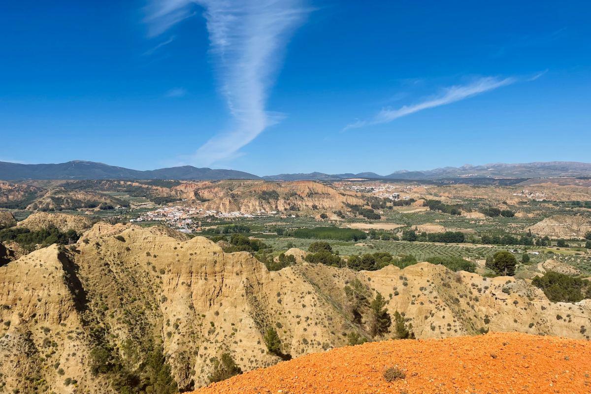
Next, we made our way to the third and final viewpoint, following the now-clear road. There’s another short but challenging climb, but it’s manageable.
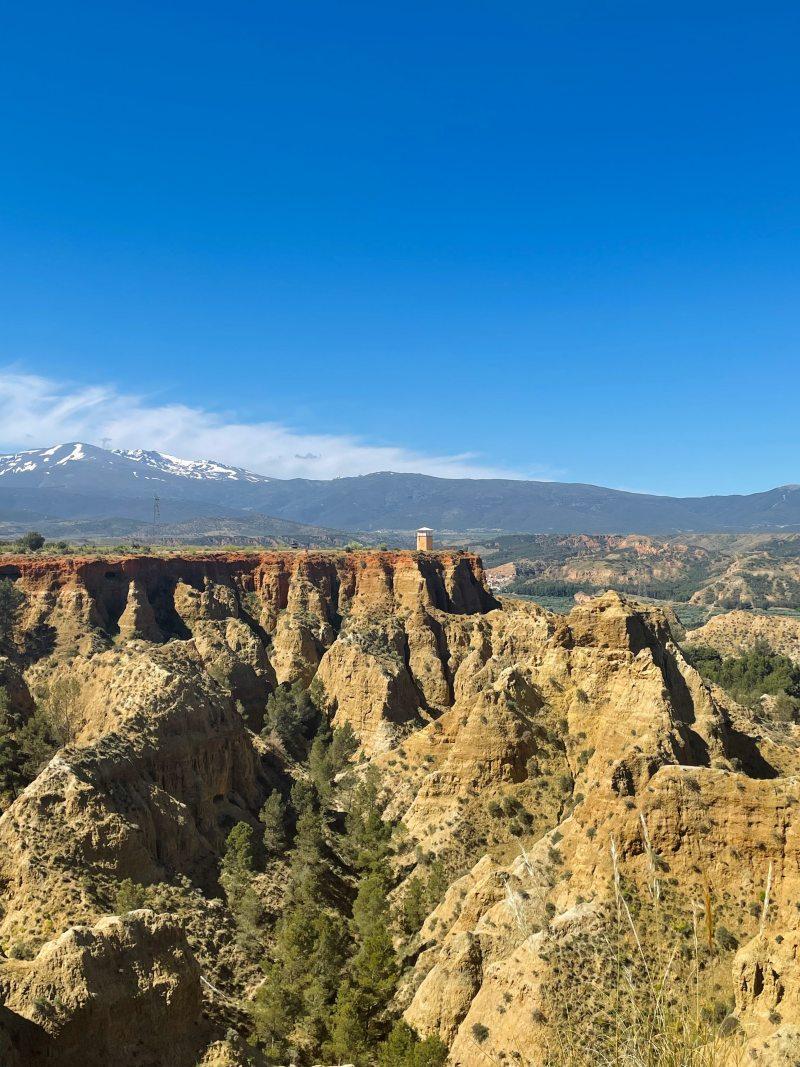
You’ll see a clear sign posting to Mirador del Fin del Mundo, which is a short detour—about a 20-minute walk to the viewpoint and back on the same path. But trust me, it’s worth it.
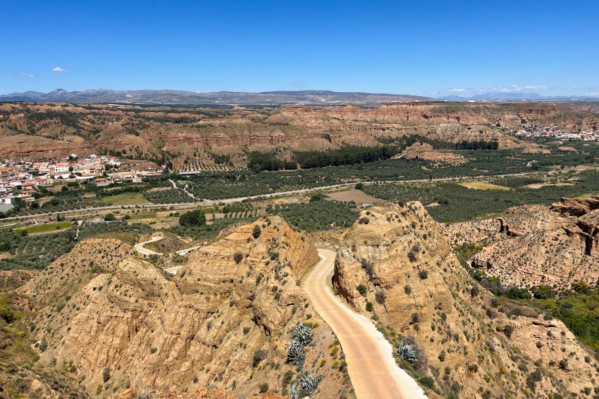
Mirador del Fin del Mundo
Once you’re back on the main track, it’s an easy walk as you follow the road back to Purullena and the parking lot.
What to Pack & Tips to Know
Here are the hiking gear I recommend to take with you on this hike and a few tips:
- Good sturdy hiking shoes are a must. No sandals or flip-flops!
- Wear a hat as most of the hike is sunny with almost no shade. The sun is no joke in Andalusia so don’t even think of the outdoors without one.
- Take sunscreen with you for the same reason as the one above.
- Have a cardigan or jacket with you as the weather can be fresh in the morning and at dawn.
- If you plan to do this hike between April and September, hit the trail as soon as possible in the morning to avoid the burning sun. By the way, you shouldn’t do this hike in the summer.
- There’s nothing on the trail, no fountain or anything so make sure to have enough water and something to snack on.
- Make sure to download the GPX map the day before the hike so it’s accessible without internet access. Because it’s easy to get lost in a few tricky parts, I recommend not doing the hike if you don’t have it.
If you want some gear recommendations, check this guide: The Complete Hiking Gear List (free checklist included).
🔍 Read more:
- The Most Beautiful White Villages of Andalusia
- One Day in Cordoba
- One Day in Malaga
- 2 Days in Seville
- Best Things to Do in Ronda
- Hiking La Ruta de Los Cahorros de Monachil
- Hiking El Torcal de Antequera
- Hiking La Garganta Verde
I hope you enjoy your hike; if you have any questions, let me know in the comments below!
Help a fellow traveler and share this guide with the buttons below. 🙂
Travel Tools
Use any of our recommended links below to book your trip. You pay the same, and we earn a small fee; a great way to support us!
Pin this to Pinterest!
Enjoyed this guide? Then help a fellow traveler and pin it! They'll most definitely love you for it, 100% guarantee.

![10 Best Things to Do in Ronda, Spain [100% worth doing]](https://www.kevmrc.com/wp-content/uploads/2024/07/the-best-things-to-do-in-ronda-spain.jpeg)
![TOP 10 Things to Do in Cadiz, Spain [100% worth doing]](https://www.kevmrc.com/wp-content/uploads/2025/02/top-10-best-things-to-do-in-cadiz-spain.jpeg)
